Explore

Students create a 3D model of countries with features that show the history of a country.
3D modeling software (such as Tinkercad)
3D object resources (such as Thingiverse or Scan the World)
3D Printer
Brush up on 3D Modeling Basics with our tutorials on YouTube:
Finding good 3D models to print on Thingiverse
3D Filament
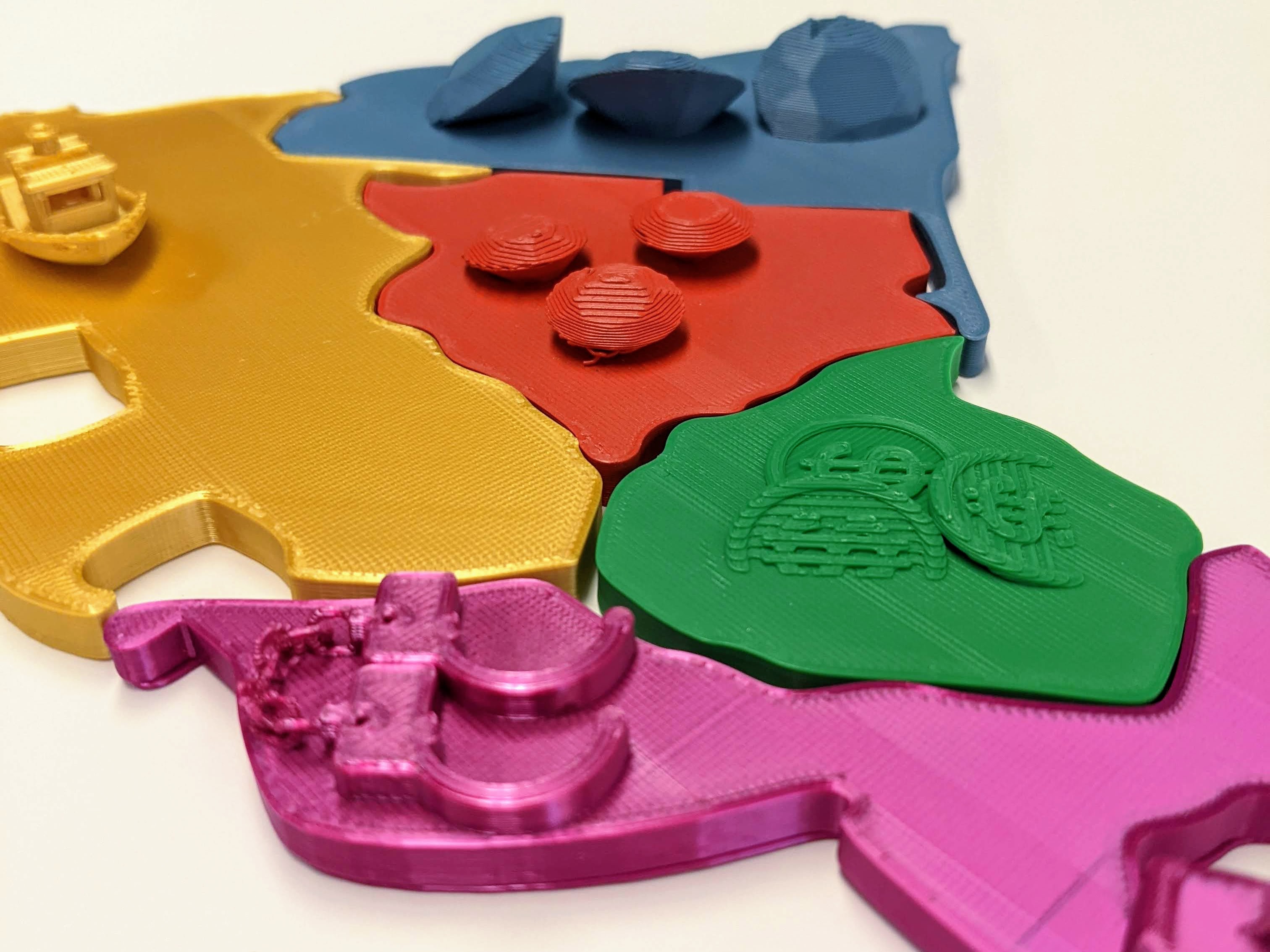
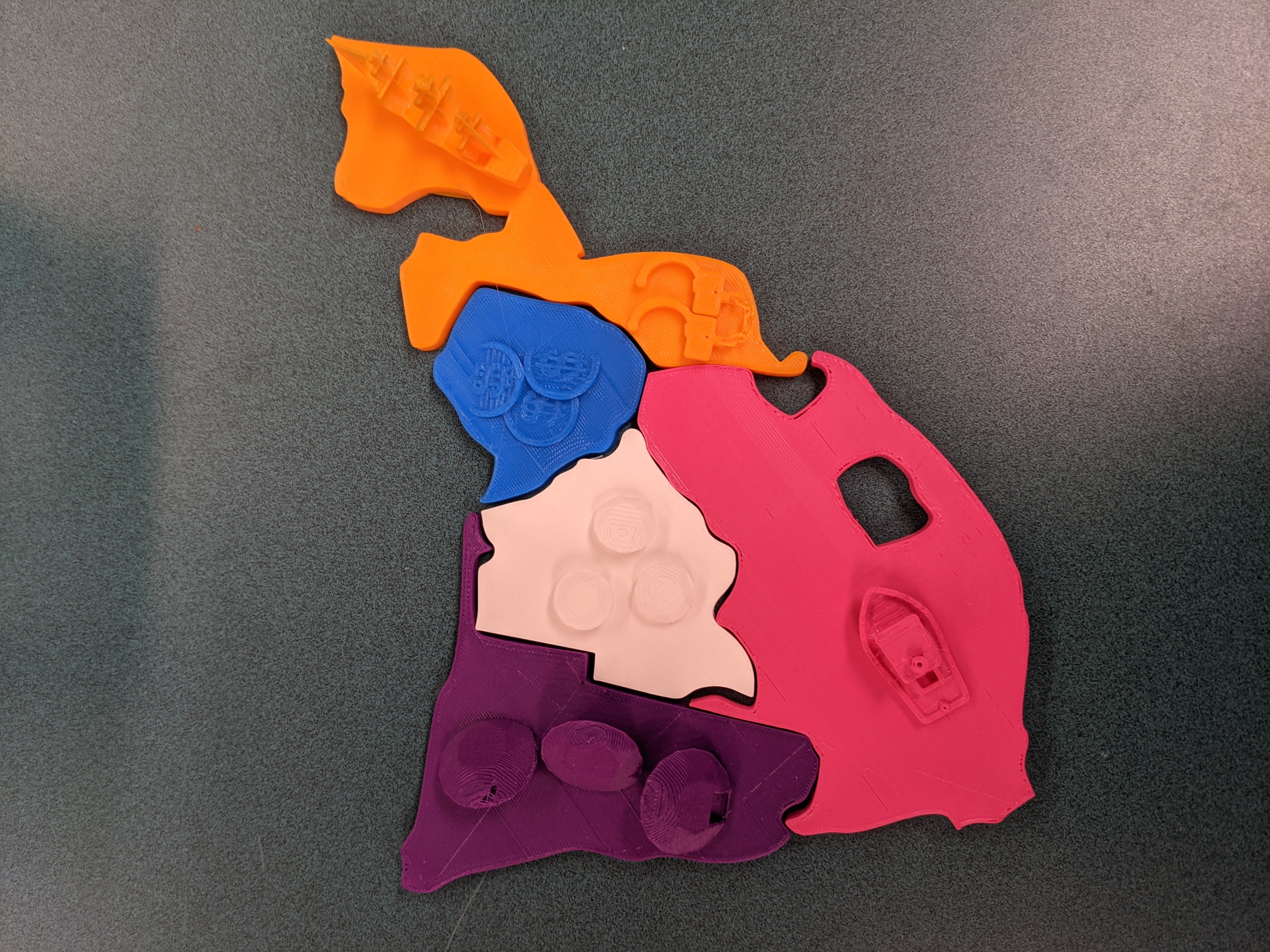
Students created 3D printed puzzle pieces of southern African nations which reflected European colonization, adding models which represented resources sought after by the colonizers, and debossing flags into the underside. Students found models of countries and resources on 3D model sites like Thingiverse and used Tinkercad to add objects to the top of each nation. They then imported vector images of flags to cut out of the bottom of each piece. Once printed, the various puzzle pieces come together and can be used to learn about each nation’s history.
Have a question or want to share your Makes with us? Contact us!
k12maker@mit.edu


.svg)
We help educators integrate Maker/STEAM projects into regular academic classes, making their curriculum more engaging, promoting "21st-century" durable skills, and fostering literacy in creative technologies used by professionals.